| News Details |
Satellite images on the water situation in the western region
2023-08-28
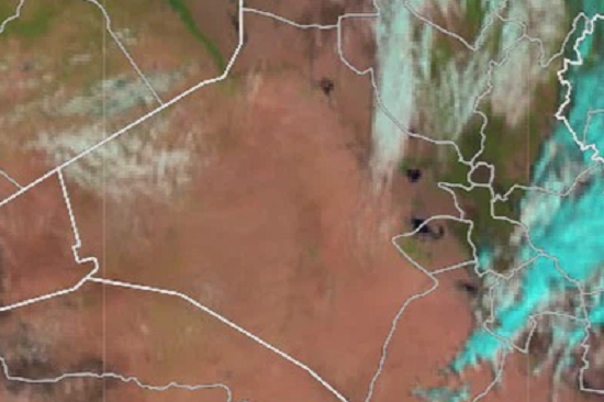
The Planning and Databases Department at the Upper Euphrates Basin Developing Centre –University of Anbar published a set of satellite images on the water situation of a number of dams and reservoirs in the western region of Iraq.
The satellite images of the European Space Agency in July and August 2023 showed that despite the significant rise in temperatures and evaporation rates, the reservoirs of the Horan 2, Rutba and Al-Abyadh dams still maintain good water storage levels and that the projects of these dams are successful and efficient projects and their design foundations can be adopted in any future projects for small dams and water harvesting in Iraq.
The images also showed that the Rahalia Dam also still maintains good storage rates and the dam project can be adopted as a source to provide the needs of the city of Rahalia of water at a large rate and at a lower cost than the proposed projects to provide water to the region through a system of pipes from the Euphrates River or use it as an integral part of the pipeline project that can save and reduce the cost of operation and maintenance.
As for the dams of Husseiniya and um al-Tarfat, the storage is almost in its final stages, and we have indicated through follow-up satellite images the existence of some geological and hydraulic problems in these dams.
As for the reservoir of the Haditha Dam, which is the main reservoir on the Euphrates River, storage levels are still at the same levels indicated in previous months (low), but the operational policy of water resources has contributed significantly to maintaining these levels.
Also, for Lake Habbaniya, storage levels are still at low levels, but relatively at the same levels recorded in the previous months.
To view satellite images of Horan Dam 2 click here
To view the satellite images of the Rutba Dam, click here
To view the satellite images of the Al-Abyadh Dam click here
To view the satellite images of the Rahalia Dam, click here
To view satellite images of the Husseiniya Dam, click here
To view the satellite images of the um Al-Tarfat Dam, click here
To view satellite images of the Haditha Dam reservoir, click here
To view satellite images of Habbaniyah Lake click here