| News Details |
Active Floods in Western Anbar Valleys; Center Records High Discharge Peaks with Gradual Decline in the Evening
2026-03-23

The Upper Euphrates Center for Sustainable Development Research at University of Anbar announced the latest updates to flood monitoring data in the valleys of the western region and the upper Euphrates River in Anbar Governorate, as part of its ongoing efforts to monitor hydrological phenomena and enhance water databases.
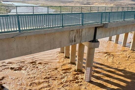
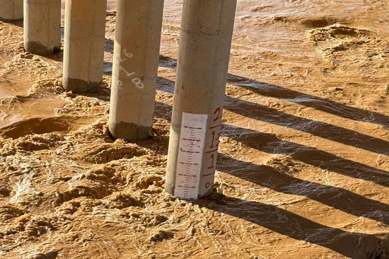
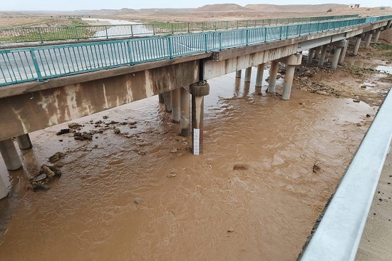
Starting early Sunday morning, March 22, 2026, the staff at the Haditha terminal station, affiliated with the center, began their fieldwork to monitor and measure flood discharges in several valleys of the western region, within the center's network of monitoring stations. This work was carried out in parallel with monitoring operations conducted by the center's staff at the Rutba station to track floods in the upper Houran valley and surrounding areas. Engineer Juma’a Mohammed Ahmed, head of the Haditha monitoring station, explained that monitoring began at 7:00 AM and continued throughout the day, with significant flow peaks recorded in several valleys. In Houran, at the center's monitoring station near the Ramadi-Haditha road, the highest flow was recorded at 11:30 AM at approximately 250 cubic meters per second, gradually decreasing to 125 cubic meters per second by 5:00 PM.
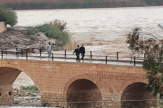
In Hajlan valley, within the city of Haditha, the peak flow was recorded at 9:00 AM at over 200 cubic meters per second, before dropping sharply to less than 5 cubic meters per second by 5:00 PM, indicating that the rainstorm was concentrated in areas near Haditha.
In Zaghdan valley, the center's monitoring station at the Zaghdan Bridge, near the Ramadi-Haditha road, recorded a flow of 225 cubic meters per second during the early morning hours, decreasing to about 10 cubic meters per second by 5:00 PM. In Banat al-Hassan valley, the discharge reached 15.3 cubic meters per second at 10:00 AM, before dropping to less than 1 cubic meter per second later.
In the same context, Engineer Ahmed Ismail, from the Rutba station staff, noted that flash floods were recorded in valley of Abila, located approximately 12 km from the city of Rutba towards the Abila Dam. The discharge reached 13.5 cubic meters per second on Saturday, March 21, 2026, while 1.8 cubic meters per second was recorded after 1:00 PM on Sunday, March 22, 2026.
The Upper Euphrates Center for Sustainable Development Research confirmed that their staffs at the Haditha and Rutba terminal stations are continuing to conduct field monitoring and measurements. This contributes to building accurate and reliable databases that support researchers and graduate students in developing hydrological models and enhance the efficiency of water resource management and monitoring the impacts of climate change. This aligns with the strategic plan of Anbar University and the requirements of sustainable development within the framework of Vision 2030.
To view the flash floods in Houran valley on March 23, 2026... Click here
#Upper_Euphrates_Center_for_Sustainable_Development_Research