| News Details |
Extraordinary Floods in the Upper Euphrates Valleys; Upper Euphrates Center Continues Monitoring and Documentation
2026-03-26
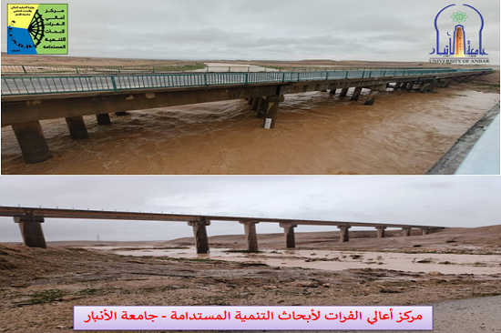
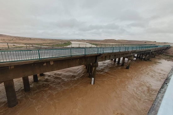
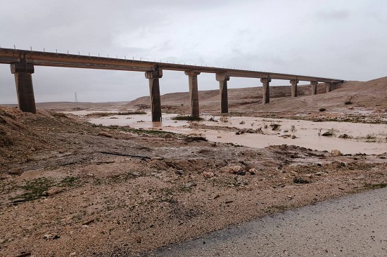
The Upper Euphrates Center for Sustainable Development Research at University of Anbar recorded one of the strongest and longest flood waves in the Upper Euphrates valleys within the western region of Anbar Governorate, as a result of the heavy rains that fell on Wednesday evening, March 25, 2026.
The staff at the Haditha terminal station, affiliated with the center, continued their field monitoring and measurement of the flood waves despite the difficult weather conditions. Engineer Juma’a Muhammad Ahmad, the station manager, confirmed that the technical teams continued working until late Wednesday night, recording unprecedented discharge values.
He explained that Hajlan valley in the city of Haditha witnessed a discharge exceeding 500 cubic meters per second at 11:00 PM, after the water level reached a depth of 3 meters, a level not recorded in the valley for approximately 30 years, according to testimonies from local residents. By the early morning hours of Thursday, March 26, 2026, the discharge had decreased significantly to 5 cubic meters per second, with expectations of a renewed increase due to renewed rainfall after 11:00 AM.
In Houran valley, the flash floods have continued for about a week, with a discharge of 80 cubic meters per second recorded after 10:00 AM on Thursday, compared to 26 cubic meters per second at 5:00 PM on Wednesday.
As for Zaghdan valley, the flash floods continued, uneven intermittently at sometimes, throughout the past week, with a discharge of 45 cubic meters per second recorded before noon on Thursday, after reaching 22 cubic meters per second at 5:00 PM on Wednesday. In a related context, the Director of the Center (Professor Dr. Ammar Hatem Kamel) stated that this flash flood is the longest-lasting documented in the region. A review of historical data indicates that available records date back to the 1975-1976 season, and these records do not include flash floods lasting more than four consecutive days. Therefore, the current data, along with data documented by the Center since 2022, represents an important scientific resource for researchers, specialists, and graduate students in the fields of river basin hydrology, climate change studies, and water resource management, particularly in arid and semi-arid environments.
Similarly, the Upper Euphrates Center for Sustainable Development Research announced its full readiness to cooperate with executive governmental authorities, academic institutions, researchers, and graduate students to utilize this data in scientific studies and applications, in line with the University of Anbar's strategic plan to enhance its community role and achieve the Sustainable Development Goals within Vision 2030.
- To view the floods in Houran valley... Click here
- To view the floods in Zaghdan valley... Click here
- To view the floods in Hajlan valley... Click here
- To view the floods in Hajlan valley... Click here
#Upper_Euphrates_Center_for_Sustainable_Development_Research