| News Details |
A state of atmospheric instability with expectations of rain and runoff events
2024-10-31
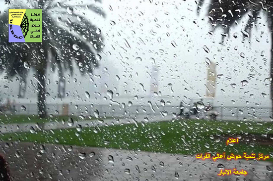
The Upper Euphrates Basin Developing Centre - University of Anbar announced the weather forecast in Iraq for the coming days, and Assistant Professor Dr. Ahmed Jassam Mukhlif, a climate expert in the Natural Resources Development Department at the Centre, stated ((Weather models indicate that Iraq was affected by the state of instability starting from Wednesday, 30/10/2024, as a result of being affected by the Red Sea depression, and then its merger with the Mediterranean depression)).
The chances of rain are as follows:
Wednesday, 30/10/2024: The beginning of the depression's entry into the western parts of the country, so it will be weak and in separate areas, its impact increases in the evening, in particular, as well as some areas of southern Iraq, especially Basra and Nasiriyah, are affected, and it is in the form of scattered and weak rainfall.
Thursday, 31/10/2024: Scattered rain cells of varying intensity in central and southern Iraq, as well as the southern parts of Sulaymaniyah Governorate, and may turn into rainstorms in Basra, Nasiriyah, Najaf and Kut, during the morning hours, while the evening hours are mostly clear.
Friday, 1/11/2024: With the early morning hours, there will be a merger of the Mediterranean depression with the Red Sea depression and the pumping of cold air in the upper layers of the atmosphere with the availability of warm rising air and high surface humidity, and the deepening of the depression in the upper layers of the atmosphere, which creates an opportunity for severe rainfall in some areas as well as hail, concentrated on both the central region (Baghdad and Diyala, parts of Tikrit and Anbar - Ramadi, Fallujah and Habbaniyah - as well as western Anbar - Rutba, Al-Qaim, Arar and Al-Nukhayb), as well as the southern region, so it is Severe rainstorms in Najaf, Diwaniyah, Hilla, Nasiriyah and Basra on the eastern parts of it, while west of Ramadi are sporadically.
Saturday, 2/11/2024: The intensity of the thunderstorm, especially at night, with heavy rainfall and hail especially Baghdad, Diyala and Anbar- perhaps if the forecasts are confirmed, Baghdad and Anbar will witness severe water flows accompanying the rainstorm on Thursday night, then comes the northern region of the country and then the south of the country in terms of rain intensity.
Sunday, 3/11/2024: The intensity of the thunderstorm will be in northern Iraq and will be more severe than before, and the depression will be very deep in northern Iraq, and if the situation is proven, it will lead to dangerous runoff events, so it should be careful of the slope areas, in particular, followed by the central region in severity, while the southern region will have less rain and sporadically.
Monday, 4/11/2024: The depression will be weaker than before and will dominate the northern part of the country, concentrated in the east of the country from the northern and central region, and a light range in southern Iraq, before dawn.
As for temperatures:
Northern region: Maximum temperature / maximum temperature drop starting from Saturday to range between 18 ° C, while the minimum temperature reaches 11 ° C.
Central region: Low temperature / maximum starting from Friday to range between 20 ° C, while the minimum temperature reaches 13 ° C.
Southern region: The maximum temperature drops starting from Saturday to range between 24 ° C, while the minimum temperature reaches 17 ° C/ the lowest decrease in the southern region is in Amara Governorate On Sunday, 3/11/2024, the maximum temperature is expected to reach 10 ° C. The minimum temperature is 3 °C.
As for the wind speed: it is moderate in a speed of 10-20 km/h and in a northerly to north westerly direction.
#Upper_Euphrates_Basin_Developing_Center