
| News Details |
Satellite images about the water situation in the western region of Iraq for the month of October 2023
2023-10-21
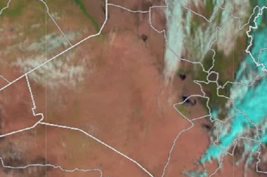
The Planning and Databases Department at the Upper Euphrates Basin Developing Centre –University of Anbar published a set of satellite images on the water situation of a number of dams and reservoirs in the western region of Iraq.
The satellite images of the European Space Agency in October 2023 showed that despite the significant rise in temperatures, evaporation rates and the interruption of rain during the summer season, the reservoirs of the Horan 2, Al-Abaid and Al-Rahaliya dams still maintain good levels of water storage and that the projects of these dams are successful and efficient projects and their design foundations can be adopted in any future projects for small dams and water harvesting in Iraq.
By comparing with the same period of the previous year, i.e. October 2022, there are dams that have kept a good store of rainfall for the 2022-2023 season, and if the expectations are correct during the current season, this means that the storage in these dams continues for two consecutive years, which supports the possibility of benefiting from water harvesting projects to support the water resources management system in the governorate, which the Upper Euphrates Basin Developing Centre called for many times, especially in remote areas and population centers in Rutba and Nukhaib, in addition to the possibility of investing these dams to establish oases, increase the agricultural area and support green belt projects in the province.
As for Habbaniyah Lake, storage levels are still at low levels, but relatively at the same levels recorded in the previous months.
To view the satellite images of the Horan Dam 2 Click here.
To view the satellite images of Alabiadh Dam Click here.
To view the satellite images of the Rahalia Dam Click here.
To view the satellite images of the Husseiniya Dam Click here.
To view the satellite images of Habbaniyah Lake Click here.


